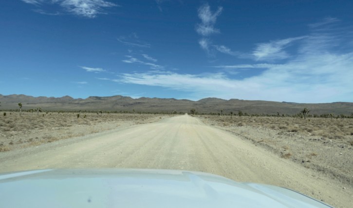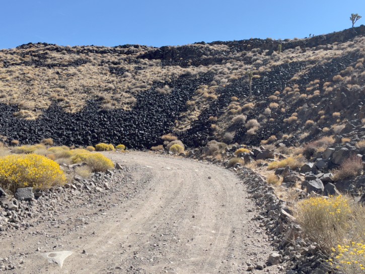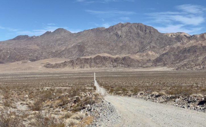
Saline Valley Road is a sporadically maintained dirt road running north–south through the length of the valley, and is the most commonly used access route. From SR 168 in the north to SR 190 in the south, it is 95 miles (153 km) long, and ranges in elevation from 1094 to 7593 feet (333 to 2314 m). It goes through two mountain passes: the Inyo Mountains in the north, and the Nelson Range in the south. The northern pass is higher, but is better maintained and is about 20 miles (30 km) closer to the hot springs. One or both passes may be closed during the winter due to snow, ice, or washouts. The “Road Closed” signs are often left in place year-round in an attempt to deter motorists who may not realize how treacherous the road is. It is not a Park Service Road, and Inyo County is responsible for its maintenance. The entire length of the road is passable by non-4WD vehicles under favorable conditions, but areas can be icy and impassable, and long stretches of road are extremely rough and surfaced by sharp-edged primitive rock gravel. High ground clearance, off-road tires, and mounted full-size spare tires are strongly recommended.
(All of this was stolen from Wikipedia or from the Eastern California Museum web site)